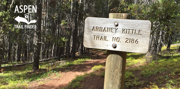
Connects: Basalt/Old Snowmass Trail, Arbaney Kittle Trail, Arbaney Kittle West Trail, Arbaney Kittle Gulch Trail, Fryingpan Overlook (8,290 ft), Triangle Peak Trail, Red Rim Road (FSR #534), Triangle Peak (9,223 ft), Red Canyon Trail, Kobey Trail, Forest Service Road #513, Kobey Park Road (FSR #508), Larkspur Mountain Road (FSR #103), Lenado Trail (Tincup/Tinpot Trail), Four Corners (9,785 ft), Four Corners Road, Hunter Creek Cutoff Trail, Smuggler Mountain Overlook, Smuggler Mountain Road (FSR #131), Smuggler Mountain
![]()
![]()
![]()
![]()
![]()
![]()

The Arbaney Traverse connecting Aspen to Basalt
Aspen, Lenado, Basalt, CO – Hard – 20+ Miles – Hike, Run, Mountain Bike, Horseback Ride, Dog Friendly – Dirt
The Arbaney Traverse is a difficult connection of trails you can hike, run, mountain bike, and horseback ride that is dog friendly. There are a couple different versions of the traverse that go from Aspen to Basalt, CO.
Triangle-Arbaney Traverse – 16.5 Miles
The Triangle-Arbaney Traverse traditionally starts near Woody Creek on Triangle Peak Trail/Red Rim Road (FSR #534) to Triangle Peak (9,223 ft) to Arbaney Kittle Trail and ends in Basalt.
Arbaney Traverse (Aspen to Basalt) – 35+ Miles
A full traverse can be made from Aspen to Basalt starting on Smuggler Mountain Road (FSR #131). Once at the Smuggler Mountain Overlook take the Hunter Creek Cutoff Trail to the Hunter Creek Valley. Take Red Mountain Road (FSR #130) to Four Corners Road to
Four Corners (9,785 ft). Use the Lenado Trail (Tincup/Tinpot Trail) to get to Lenado and onto Woody Creek Road (CR 18). (An Arbaney Traverse can also start from Woody Creek or Lenado).
From Woody Creek/Lenado
Take Larkspur Mountain Road (FSR #103) to Kobey Park Road (FSR #508) to Forest Service Road #513 and to the Kobey Trail. The Arbaney Kittle Trail will take you to Basalt.


 (26 votes, avg: 8.77 out of 10)


