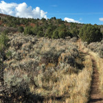
Connects: Rio Grande Trail, The Crown, Buckhorn Traverse Trail, BLM Road 8324, Outie Trail Basalt, Carbondale, CO – Medium – 2.8 Miles – Hike, Run, Mountain Bike, Dog Friendly – Dirt Buckhorn Trail is an intermediate/moderate trail you can hike,…

Connects: Rio Grande Trail, The Crown, Buckhorn Traverse Trail, BLM Road 8324, Outie Trail Basalt, Carbondale, CO – Medium – 2.8 Miles – Hike, Run, Mountain Bike, Dog Friendly – Dirt Buckhorn Trail is an intermediate/moderate trail you can hike,…
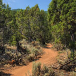
Connects: The Crown, Buckhorn Trail, BLM Road 8324 Basalt, Carbondale, CO – Medium – 2.1 Miles – Hike, Run, Mountain Bike, Dog Friendly – Dirt The Buckhorn Traverse Trail is an intermediate/moderate trail you can hike, run and mountain bike…
Connects: Grass Valley Road (CR 226), Mansfield Ditch Trail, Cherry Creek Trail, West Elk Trail, Forest Service Road #819, Last Chance Trail, Forest Service Road #820, Triangle Park, Buford New Castle, CO – Medium – 38.5 Miles – Road Bike,…
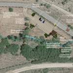
Connects: Prince Creek Road (CR 5, 111), Prince Creek Trail Carbondale, CO – Recreation Area The Bull Pen is a future parking lot for access to the Prince Creek trails and The Crown. The project is slated to be completed…
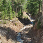
Connects: Avalanche Creek Road (FSR #310) Carbondale, CO – Medium – 2 Miles – Hike, Horseback Ride, Dog Friendly – Dirt Bulldog Creek Trail is an intermediate/moderate trail you can hike and horseback ride that is dog friendly. This is…
Connects: Spring Gulch Trail System Carbondale, CO – Medium – 2.24 KM (1.39 Miles) – Classic XC Ski, Skate Ski – Snow Bulldogger Trail is an intermediate/moderate winter trail for cross-country skiing only. This is a 2.24 KM (1.39 Miles)…
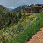
Connects: Airport Business Center (ABC), Stein Trail, Burlingame Connector Trail (Rio Grande) Aspen, CO – Easy – 0.2 Miles – Hike, Run, Mountain Bike, Dog Friendly – Dirt The Burlingame Connector Trail, an easy trail you can hike, run, and…
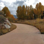
Connects: ABC Trail, Owl Creek Trail, Old Stage Trail, Harmony Park, Burlingame Connector Trail (Rio Grande), Burlingame Connector Trail (ABC) Aspen, CO – Easy – 0.5 Miles – Walk, Run, Road Bike – Paved Burlingame Trail is an easy trail…
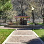
Connects: Main Street, Coal Miner Memorial New Castle, CO – Park Burning Mountain Park is a park space along Main Street in New Castle, CO. This park includes: Coal Miner Memorial Playground Restrooms Picnic Tables Gazebo View Larger Map
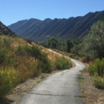
Connects: Flat Tops Bridge, Prendergast Hill Trail, Jolley Trail New Castle, CO – Easy – 0.6 Miles – Walk, Run, Road Bike, Dog Friendly – Dirt The Burning Mountain Trail is an easy trail you can walk, run, and bike…
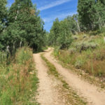
Connects: North Fork Road (FSR #501), Last Chance Trail, Tellurium Lake Trail, Harry Gates Hut, Woods Lake Road (FSR #507), Lime Park (9,400 ft), Eagle-Thomasville Road (FSR #400) Thomasville, CO – Easy – 10 Miles – Hike, Run, Mountain Bike,…