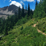
Connects: Castle Creek Road (CR 15), Cathedral Lake (11,866 ft), Electric Pass Trail Aspen, CO – Hard – 2.8 Miles – Hike, Run, Horseback Ride, Dog Friendly – Dirt Cathedral Lake Trail #1984 is a difficult trail you can hike,…

Connects: Castle Creek Road (CR 15), Cathedral Lake (11,866 ft), Electric Pass Trail Aspen, CO – Hard – 2.8 Miles – Hike, Run, Horseback Ride, Dog Friendly – Dirt Cathedral Lake Trail #1984 is a difficult trail you can hike,…
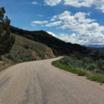
Connects: Cattle Creek Road (CR 113), Crystal Springs Road (CR 112) Catherine Store Road (CR 100), Rio Grande Trail Carbondale, Glenwood Springs, CO – Medium – 20.5 Miles – Run, Hike, Road Bike, Mountain Bike – Paved/Gravel Cattle Creek Loop,…
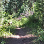
Connects: Upper Cattle Creek Road (FSR #509), Basalt Mountain Trail, Red Table Trail Basalt, CO – Medium – 3.7 Miles – Hike, Run, Mountain Bike, Horseback Ride, Dog Friendly – Dirt Cattle Creek Trail #1909 is an intermediate/moderate trail you…
Connects: Forest Service Road #800, Cayton Gulch Trail, Lake Fork Trail Silt, CO – Historic The Cayton Ranger Station, formerly known as the Johnson Springs Ranger Station and also called the Cayton Guard Station, is the second oldest ranger station…
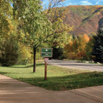
Connects: ABC Trail, Bugsy Barnard Park, Red Butte Cemetery, Tot Lot Park, Red Butte Trail, Slaughterhouse Bridge (Cemetery Lane Bridge), Rio Grande Trail, Stein Park, McLain Flats Road (CR 19) View Larger Map View Larger Map
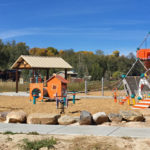
Connects: West 5th Rifle, CO – Park Centennial Park is a park celebrating the 100 year anniversary of the town in Downtown Rifle, CO. This park includes: Art Playground Picnic Tables Benches Open Space Shelter Pond/Creek Soccer Field Restrooms View…
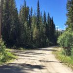
Connects: Norrie Road (FSR #504), Chapman Lake Trail, Chapman Gulch Trail Norrie, CO – Medium – 2.4 Miles – Hike, Run, Mountain Bike, Horseback Ride, Dog Friendly – Dirt Chapman Gulch Road (FSR #504E) is an intermediate/moderate road you can…