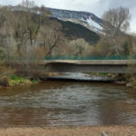
Connects: Emma Bridge (7-Eleven Bridge) Basalt, CO – Park Confluence Park is an area at the meeting of the Frying Pan River and the Roaring Fork River in Basalt, CO. Confluence Park includes: River Access View Larger Map
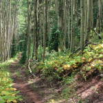
Connects: Castle Creek Road (CR 15), Highlands Summer Road Aspen, CO – Hard – 1.7 Miles – Hike, Run, Mountain Bike, Dog Friendly – Dirt Congo Trail is a difficult trail you can hike, run, and mountain bike that is…
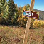
Connects: Snowmass Bike Park, Ditch Trail, Government Trail Snowmass Village, CO – Medium – 1.1 Miles – Hike, Run, Mountain Bike, Dog Friendly – Dirt Connector Trail is an intermediate/moderate trail you can hike, run, and mountain bike that is…
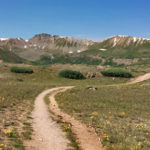
Connects: Independence Pass Road (HWY 82), Independence Pass (12,095 ft), Independence Pass Scenic Trail Aspen, CO – Hard – Hike, Run, Horseback Ride, Dog Friendly – Dirt/Rocky The Continental Divide Trail is a difficult trail you can hike, run, and…
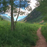
Connects: Castle Creek Road (CR 15), Silver Dollar Pond (10,245 ft), Conundrum Hot Springs (11,230 ft), Triangle Pass Trail, Triangle Pass (12,900 ft) Aspen, CO – Medium – 8.5 Miles – Hike, Run, Horseback Ride, Dog Friendly – Dirt/Rocky Conundrum…
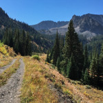
Connects: Castle Creek Road (CR 15), Montezuma Basin Road (FSR #102), Pearl Pass Road (FSR #102), Lindley Hut Distances: Bridge over Castle Creek to Lindley Hut – 1.8 Miles View Larger Map
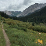
Connects: Judd Falls Trail, Judd Falls Overlook, Copper Lake (11,320 ft), East Maroon Trail, Triangle Pass Trail Gothic, CO – Medium – 4.5 Miles – Hike, Run, Horseback Ride, Dog Friendly – Dirt Copper Creek Trail #983, also called Copper…
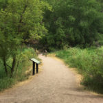
Connects: Rifle Falls State Park, Rifle Falls (6,550 ft), Mountain Mist Amphitheater, Rifle Falls Caves, Bobcat Trail, Squirrel Trail Rifle, CO – Easy – 2 Miles – Hike, Dog Friendly – Paved/Dirt The Coyote Trail is an easy trail you…