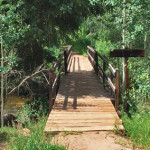
Connects: Hunter Valley Trail Aspen, CO – Bridge 10th Mountain Bridge is a pedestrian bridge over Hunter Creek in the Hunter Creek Valley. This is a bridge in Aspen, CO. Smuggler Mountain Printable Trail Map View Larger Map
Connects: Continental Divide Leadville, CO – Hut The 10th Mountain Division Hut is a hut available for reservations through the 10th Mountain Division Hut Association. This hut was built in honor of the 10th Mountain Division of the U.S. Army,…
Connects: Midland Avenue, Rio Grande Trail Glenwood Springs, CO – Bridge The 14th Street Bridge is a pedestrian bridge spanning the Roaring Fork River in Glenwood Springs, CO. News about the 14th Street Bridge can be found at: Post Independent…
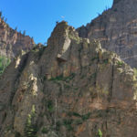
Connects: Interstate 70, Colorado River, Glenwood Canyon Glenwood Springs, CO – Viewing Area The American Flag in Glenwood Canyon is a flag on top of a rock cliff that can be seen along I-70 in the Glenwood Canyon. The flag…
Connects: Petroleum & Anderson Lake Trail Aspen, CO – Lake Anderson Lake (11,830 ft) is an alpine lake accessed by the Petroleum & Anderson Lake Trail near Aspen, CO. This lake is in a non-wilderness area. Distances: Anderson Lake to…
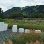
Connects: The Aspen Institute, Aspen Meadows Resort, Amy’s Meadow Aspen, CO – Park Anderson Park is a site at the Aspen Institute with multiple landscape installations. More information about Anderson Park can be found at: The Cultural Landscape Foundation –…
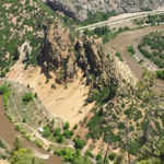
Connects: Glenwood Canyon, Scout Trail Glenwood Springs, CO – Viewing Area Artist Point (6,540 ft) is a scenic overlook above Horseshoe Bend Park in the Glenwood Canyon on the Scout Trail in Glenwood Springs, CO. Distances: Scout Trailhead (Sign) to…
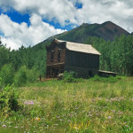
Connects: Castle Creek Road (CR 15), Express Creek Road (FSR #122), River Run Trail, Ashcroft Ski Touring Trails (Winter) Aspen, CO – Ghost Town The Ashcroft Ghost Town is a site 11 miles up Castle Creek Road near Aspen, CO.…