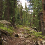
Connects: Nast Lake Trail, Nast Lake (8,700 ft), Granite Lakes Trail, Chapman Lake (9,785 ft) Meredith, CO – Medium – 1 Mile – Hike, Run, Dog Friendly – Dirt South Fork Fryingpan Trail #1924 is an intermediate/moderate trail you can…
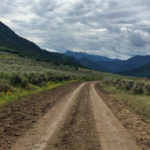
Connects: Lake Ridge Lakes Loop, Thompson Creek Road (CR 108), Dexter Park, Thompson Creek Trail, Middle Thompson Creek Road (FSR #306), Lake Ridge Lakes Trail, Parsnip Flat Road, South Thompson Trail Carbondale, CO – Medium – 7.1 Miles – Hike,…
Connects: South Thompson Creek Road (FSR #305), Parsnip Flat Road, Braderich Creek Trail Carbondale, CO – Medium – 3.4 Miles – Hike, Run, Mountain Bike, Horseback Ride, Dog Friendly – Dirt South Thompson Trail #1952 is an intermediate/moderate trail you…

Connects: Hanging Lake Trail, Hanging Lake (7,175 ft) Glenwood Springs, CO – Waterfall Spouting Rock (7,323 ft) is a water fall gushing through rocks that flows into Hanging Lake. The site is located at the top of the Hanging Lake…
Connects: Rio Blanco County Road 10, South Fork Campground, Spring Cave Meeker, CO – Medium – 0.6 Miles – Hike, Run, Horseback Ride, Dog Friendly – Dirt Spring Cave Trail #1834 is an intermediate/moderate trail you can hike, run, and…
Connects: East Elk Creek Trail (Centennial Trail) New Castle, CO – Medium – 5.8 Miles – Hike, Run, Horseback Ride, Dog Friendly – Dirt Spring Creek Trail #2068 is an intermediate/moderate trail you can hike, run, and horseback ride that…
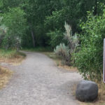
Connects: Rifle Falls State Park, Coyote Trail More information about the Rifle Falls State Park can be found at: Colorado Parks & Wildlife – Rifle Falls Trails Squirrel Trail Map Rifle Falls State Park View Larger Map

Connects: Colorow Trail New Castle, CO – Medium – 1 Mile – Hike, Run, Mountain Bike, Dog Friendly – Dirt The Stairway to Heaven Trail is an intermediate/moderate trail you can hike, run and mountain bike that is dog friendly.…
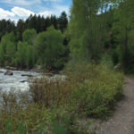
Connects: ABC Trail, Stein Bridge, Rio Grande Trail, Stein Falls, Double Bar X Ranch Nature Preserve (Private) Aspen, CO – Easy – 0.6 Miles – Hike, Run, Mountain Bike, Horseback Ride, Dog Friendly – Dirt Stein Trail is an easy…
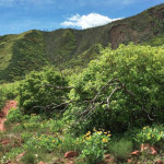
Connects: Wulfsohn Mountain Park, Wulfsohn Trail, Vanderhoofin’ It Trail, Wulfsohn Road Glenwood Springs, CO – Medium – 1.2 Miles – Hike, Run, Mountain Bike, Dog Friendly – Dirt Stevie Bob Trail is an intermediate/moderate trail you can hike, run, and…
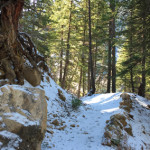
Connects: Little Annie Road (CR 15G), Dick Cabins, Dick Picnic Area, Quien Sabe Mine, Storm King Cabin Aspen, CO – Hard – Hike, Run, Dog Friendly – Dirt Stirling Wilderness Trail, also called Stirling Cooper Trail, is a difficult trail…
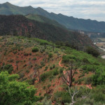
Glenwood Springs, CO – Medium – 2 Miles – Hike – Dirt The Storm King Fourteen Memorial Trail is an intermediate/moderate trail you can hike. The trail is in memory of the 14 firefighters who died there during the South…
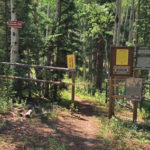
Connects: Buttermilk Summer Road, Buttermilk Trail, West Buttermilk Warming Hut, West Buttermilk Trail, Government Trail Aspen, CO – Hard – 1.7 Miles – Hike, Run, Mountain Bike, Dog Friendly – Dirt The Sugar Bowls Trail is a difficult trail you…