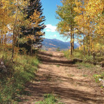
Connects: Smuggler Mountain, Smuggler Mountain Road (FSR #131), Lollipop Trail, Behind The Sign (BTS) Trail, Iowa Shaft Mine, Hunter Creek Cutoff Trail Aspen, CO – Medium – 0.40 Miles – Hike, Run, Mountain Bike, Dog Friendly – Dirt 10th Mountain…

Connects: Smuggler Mountain, Smuggler Mountain Road (FSR #131), Lollipop Trail, Behind The Sign (BTS) Trail, Iowa Shaft Mine, Hunter Creek Cutoff Trail Aspen, CO – Medium – 0.40 Miles – Hike, Run, Mountain Bike, Dog Friendly – Dirt 10th Mountain…
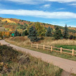
Connects: Cemetery Lane Trail, Bugsy Barnard Park, Across The Pond Park, Aspen Fat Bike Loop (Winter), Chatfield Trail, Old Stage Trail, Burlingame Trail, Annie B. Mitchell Trail, Owl Creek Trail View Larger Map View Larger Map
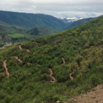
Connects: Buttermilk Connector Trail, Sky Mountain Park, Owl Creek Trail, Cozyline Trail, Skyline Ridge Trail Aspen, Snowmass Village, CO – Medium – 2 Miles – Hike, Run, Mountain Bike – Dirt Airline Trail is an intermediate/moderate trail you can hike,…
Connects: Midland Trail, Koch Lumber Park, Barbee Property Open Space, Aspen Mountain Summer Road (Aspen Mountain Trail), Little Nell Trail, Ute Mesa Trail, Ute Trail Aspen, CO – Easy – 1.5 Miles – Hike, Run, Mountain Bike, Dog Friendly –…
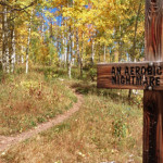
Connects: Snowmass Loop, Tom Blake Trail, Tom Blake Equestrian Trail, Terminator Trail (Winter), Government Trail Snowmass Village, CO – Hard – 0.6 Miles – Hike, Run, Mountain Bike, Dog Friendly – Dirt Anaerobic Nightmare Trail is a difficult trail you…
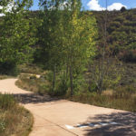
Connects: ABC Trail, Stein Trail Aspen, CO – Easy – 0.18 Miles – Walk, Run, Road Bike, Dog Friendly – Paved The Annie B. Mitchell Trail is an easy trail you can walk, run, and bike that is dog friendly.…
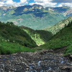
Connects: North Anthracite Trail, Yule Creek Trail, Raspberry Creek Trail Marble, CO – Hard – Hike, Run, Horseback Ride, Dog Friendly – Rocky/Dirt Anthracite Pass Trail #1969 is a difficult trail you can hike, run, and horseback ride that is…

Connects: Arbaney Traverse, Basalt/Old Snowmass Trail, Arbaney Kittle West Trail, Arbaney Kittle Gulch Trail, Fryingpan Overlook (8,290 ft), Triangle Peak Trail, Red Rim Road (FSR #534), Red Canyon Trail, Kobey Trail Basalt, CO – Hard – 17.5 Miles – Hike,…
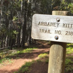
Connects: Basalt/Old Snowmass Trail, Arbaney Kittle Trail, Arbaney Kittle West Trail, Arbaney Kittle Gulch Trail, Fryingpan Overlook (8,290 ft), Triangle Peak Trail, Red Rim Road (FSR #534), Triangle Peak (9,223 ft), Red Canyon Trail, Kobey Trail, Forest Service Road #513,…
Connects: Lead King Loop, Lead King Basin Road (FSR #315), Silver Creek Trail, North Lost Trail, Carbonate Creek Trail Marble, CO – Hard – 5.2 Miles – Hike, Run, Horseback Ride, Dog Friendly – Dirt Arkansas Mountain Trail #1965 is…
Connects: Brush Creek Trail, Roaring Fork River, Jaffee Park, Rio Grande Trail Aspen, CO – Easy – 0.7 Miles – Walk, Run, Road Bike, Dog Friendly – Paved The Aspen Mass Trail is an easy trail you can walk, run,…
Connects: Maroon Creek Road (CR 13), Maroon Creek Trail, Maroon Lake (9,585 ft), Maroon Bells Scenic Trail, Four Pass Loop, Crater Lake Trail, Crater Lake (10,076 ft), West Maroon Trail, West Maroon Pass (12,465 ft), East Maroon Trail, East Maroon…