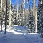
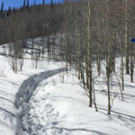
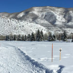
Connects: Alpine Springs Lift Snowmass Village, CO – Hard – Uphill, Snowshoe, Dog Friendly – Snow Alpine Springs Uphill Route is a difficult route you can skin and snowshoe up that is dog friendly. This is an uphill route on…
Alpine Springs Uphill Route
American Lake Trail
Ashcroft Ski Touring Trails
Aspen Golf Course Trails (Winter)
Aspen High School Trails (Winter)
Aspen Highlands Uphill Route
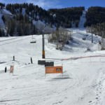
Connects: Exhibition Lift Aspen, CO – Hard – Uphill, Snowshoe – Snow Aspen Highlands Uphill Route is a difficult route you can skin and snowshoe up. This is an uphill trail on Aspen Highlands Mountain in Aspen, CO. This route…
Aspen Mountain Uphill Route
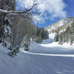
Connects: Silver Queen Gondola Aspen, CO – Hard – Uphill, Snowshoe – Snow Aspen Mountain Uphill Route is a difficult route you can skin and snowshoe up. Uphillers must turn around at 9 a.m., if they are not at the…
Avalanche Creek Road (FSR #310)
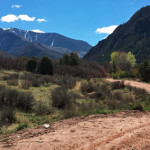
Connects: Highway 133 (West Elk Loop Scenic Byway), Janeway Trail, Janeway Campground, Bulldog Creek Trail, Avalanche Campground, Avalanche Creek Trail View Larger Map
Babbish Express Trail
Babbish Trail
Beaver Creek Road (FSR #824)
Connects: Beaver Creek Trail (Rifle) View Larger Map
Bernese Boulevard Trail (Winter)
Big Burn Uphill Route
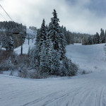
Connects: Big Burn Lift Snowmass Village, CO – Hard – 3.4 Miles – Uphill, Snowshoe, Dog Friendly – Snow Big Burn Uphill Route is a difficult route you can skin and snowshoe up that is dog friendly. This is an…
Buttermilk Uphill Route
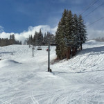
Connects: Summit Express Lift Aspen, CO – Medium – 2.5 Miles – Uphill, Snowshoe – Snow Buttermilk Uphill Route is an intermediate/moderate route you can skin and snowshoe up. This is an uphill trail on Buttermilk Mountain in Aspen, CO.…
Capitol Creek Road (CR 9/FSR #316)
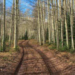
Connects: Snowmass Creek Road (CR 11), East Sopris Creek Road (CR 7), Monastery Road (CR 9B), St. Benedict’s Monastery, Nickelson Creek Road (CR 9D), Hay Park Trail, Capitol Creek Trail, Upper Capitol Creek Trail, Hell Roaring Trail

