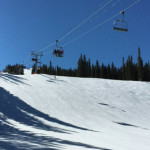
Connects: Elk Camp Gondola, Elk Camp Lift, Elk Camp Overlook (11,340 ft) Snowmass Village, CO – Hard – 3.4 Miles – Uphill, Snowshoe, Dog Friendly – Snow Elk Camp Uphill Route is a difficult route you can skin and snowshoe…

Connects: Elk Camp Gondola, Elk Camp Lift, Elk Camp Overlook (11,340 ft) Snowmass Village, CO – Hard – 3.4 Miles – Uphill, Snowshoe, Dog Friendly – Snow Elk Camp Uphill Route is a difficult route you can skin and snowshoe…
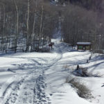
Connects: Castle Creek Road (CR 15), Ashcroft Ghost Town, Ashcroft Ski Touring Trails (Winter), Markley Hut, Taylor Pass (11,930 ft), Richmond Hill Road (FSR #123), Goodwin-Greene Hut
Connects: Four Mile Road (CR 117), Sunlight Mountain, Sunlight Peak Road (FSR #318), Sunlight to Powderhorn Trail (Winter), Four Mile Park, Beaver Creek Trail Distances: Four Mile Road (CR 117) to Four Mile Road (FSR #300) – 9.5 Miles Start…
Connects: Babbish Trail, Little Beaver Trail Glenwood Springs, CO – Medium – Snowshoe, Classic XC Ski, Skate Ski, Dog Friendly – Snow Glades Trail is an intermediate/moderate winter trail you can snowshoe, classic cross-country ski and skate ski that is…
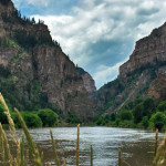
Connects: Glenwood Springs (5,760 ft), Colorado River, Glenwood Canyon Trail, Horseshoe Bend Park, Artist Point (6,540 ft), No Name Rest Area, No Name Trail (Jess Weaver Trail), No Name Canyon, Grizzly Creek Rest Area, Grizzly Creek Trail, Grizzly Creek Canyon,…
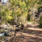
The Grizzly Creek Trail #2065 is an intermediate/moderate trail you can hike and run that is dog friendly. This is a 3.4 mile dirt trail in Glenwood Springs, CO.
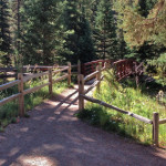
Connects: Independence Pass Road (HWY 82), Cascades, Ice Caves, Lincoln Gulch Campground View Larger Map
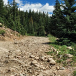
Connects: Frying Pan Road (CR 104), Sellar Meadow (9,630 ft), Sellar Coke Ovens, Forest Service Road #502, Hell Gate, Ivanhoe Lake Road (FSR #527), Lyle/Mormon Lake Trail, Ivanhoe Lake Road (FSR #527), Busk-Ivanhoe Tunnel, Lyle/Mormon Lakes Trail, Hagerman Pass (11,925…
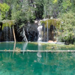
Connects: Glenwood Canyon, Hanging Lake Rest Area, Glenwood Canyon Trail, Dead Horse Creek, Dead Horse Trail, Hanging Lake (7,175 ft), Spouting Rock (7,323 ft) View Larger Map
Connects: Castle Creek Road, Hayden Peak (13,561 ft) Aspen, CO – Hard – 11 Miles – Uphill, Snowshoe, Classic XC Ski, Dog Friendly – Snow Hayden Peak Ski Access Trail is a difficult trail you can skin, snowshoe, and classic…
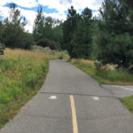
Connects: Aspen High School Trails (Winter), Hospital Trail, ABC Trail, Moore Trail, Haleakala Crater, Marolt Trail, Aspen Fat Bike Loop (Winter), Aspen Rec Center, Highlands Trail
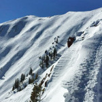
Connects: Loge Peak Lift, Deep Temerity Lift, Aspen Highlands Ski Patrol Station, The Shire Beacon Park, Highland Peak (12,392 ft) Aspen, CO – Hard – 0.75 Miles – Hike, Snowshoe – Snow Highland Bowl Trail is a difficult trail you…
Connects: Tenderfoot Trail, Old Four Mile Road Glenwood Springs, CO – Easy – Snowshoe, Classic XC Ski, Dog Friendly – Snow Holiday Hill Trail is an easy winter trail you can snowshoe and classic cross-country ski that is dog friendly.…