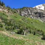
Connects: Lead King Loop, Lead King Basin Road (FSR #315), North Lost Trail, Carbonate Creek Trail, Buckskin Basin, Avalanche Pass (12,100 ft) Marble, CO – Hard – 3.7 Miles – Hike, Run, Horseback Ride, Dog Friendly – Dirt Avalanche Pass…

Connects: Lead King Loop, Lead King Basin Road (FSR #315), North Lost Trail, Carbonate Creek Trail, Buckskin Basin, Avalanche Pass (12,100 ft) Marble, CO – Hard – 3.7 Miles – Hike, Run, Horseback Ride, Dog Friendly – Dirt Avalanche Pass…
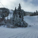
Connects: Big Burn Lift Snowmass Village, CO – Hard – 3.4 Miles – Uphill, Snowshoe, Dog Friendly – Snow Big Burn Uphill Route is a difficult route you can skin and snowshoe up that is dog friendly. This is an…
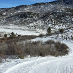
Connects: Spring Gulch, Wagon Road Trail (XC Only), Sidewinder Trail (XC Only), Highball Trail (XC Only) Carbondale, CO – Hard – 0.75 KM (0.46 Miles) – Classic XC Ski, Skate Ski – Snow Big Dipper Trail is a difficult winter…
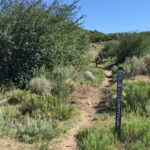
Connects: The Crown, Prince Creek, West Sopris Creek Road (CR 6), Dinkle Lake Road (FSR #311), Prince Creek Road (CR 5), BLM Road 8320 Carbondale, CO – Medium – 1.7 Miles – Hike, Run, Mountain Bike, Horseback Ride, Dog Friendly…
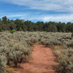
Connects: Red Hill, Three Poles Trail, Mushroom Rock Trail, Bogus Trail, Three Gulch Trail Carbondale, CO – Hard – 1.2 Miles – Hike, Run, Mountain Bike, Dog Friendly – Dirt Blue Ribbon Trail is a difficult trail you can hike,…
Connects: Scout Trail, Forest Hollow Trail, Hubbard Cave Road (FSR #408), Lookout Mountain Road (CR 120), Red Canyon Road (CR 115), Rio Grande Trail Glenwood Springs, CO – Hard – 18+ Miles – Hike, Run, Mountain Bike, Dog Friendly –…
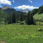
Connects: Capitol Creek Road (CR 9), Nickelson Creek Trail, Upper Capitol Creek Trail, Avalanche Creek Trail, West Snowmass Trail, Capitol Lake (11,600 ft) View Larger Map
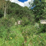
Connects: North Lost Trail, Avalanche Pass Trail, Arkansas Mountain Trail Marble, CO – Hard – 7 Miles – Hike, Run, Horseback Ride, Dog Friendly – Dirt Carbonate Creek Trail #1971 is a difficult trail you can hike, run, and horseback…
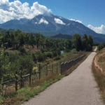
Connects: Highway 133 (West Elk Loop Scenic Byway), Crystal Valley Trail, Redstone (7,200 ft), Marble (8,000 ft), McClure Pass (8,755 ft), Kebler Pass (10,007 ft) Carbondale, CO – Hard – 74 Miles – Hike, Run, Mountain Bike, Horseback Ride, Dog…
Connects: Montezuma Basin Road (FSR #102), Castle Peak (14,279 ft), Conundrum Peak (14,040 ft) Ashcroft, CO – Hard – Hike -Rocky The Castle/Conundrum Peak Trail is a difficult trail you can hike to Castle Peak (14,279 ft) and Conundrum Peak…
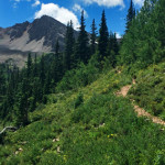
Connects: Castle Creek Road (CR 15), Cathedral Lake (11,866 ft), Electric Pass Trail Aspen, CO – Hard – 2.8 Miles – Hike, Run, Horseback Ride, Dog Friendly – Dirt Cathedral Lake Trail #1984 is a difficult trail you can hike,…