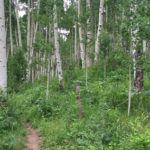
Connects: Sunnyside Trail, Secret Trail, Hummingbird Trail, Hunter Valley Trail Aspen, CO – Hard – 1.6 Miles – Hike, Run, Mountain Bike, Dog Friendly – Dirt Plunge Trail, a section of the Sunnyside Trail, is a difficult trail you can…

Connects: Sunnyside Trail, Secret Trail, Hummingbird Trail, Hunter Valley Trail Aspen, CO – Hard – 1.6 Miles – Hike, Run, Mountain Bike, Dog Friendly – Dirt Plunge Trail, a section of the Sunnyside Trail, is a difficult trail you can…
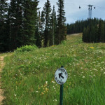
Connects: Aspen Mountain Summer Road (Aspen Mountain Trail), Little Nell Trail, Bill Zaugg’s Cabin, West Side Trail, East Rim Trail Aspen, CO – Hard – 2.25 Miles – Hike, Run, Mountain Bike, Dog Friendly – Dirt The Power of 1…
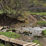
Connects: The Crown, BLM Road 8320, BLM Road 8324, BLM Road 8325, Christmas Tree Trail, Creekside Trail, English Trim Trail, Father of Ginormous Trail (Downhill Only), Ginormous Trail, Highline Trail, Innie Trail, Monte Carlo Trail, Monte Carlo Bike Ramp, Outie…
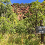
Connects: Arbaney Traverse, Aspen Valley Ranch Trail, Arbaney Kittle Trail Aspen, CO – Hard – Hike, Run, Mountain Bike, Horseback Ride, Dog Friendly – Dirt Red Canyon Trail #1933 is a difficult trail you can hike, run, mountain bike, and…
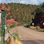
Connects: Red Hill, Three Poles Trail, Three Gulch Trail Carbondale, CO – Hard – 1.3 Miles – Hike, Run, Mountain Bike – Dirt Red Hill Road (CR 107), also called Garfield County Road 107, is a difficult road you can…
Connects: Rio Grande Trail, Red Mountain Road (FSR #130), Hunter Creek Trail, Hunter Valley Trail, Red Mountain Road (FSR #130) Aspen, CO – Hard – 2.65 Miles – Road Bike, Mountain Bike – Paved/Dirt Red Mountain Road (CR 20) is…
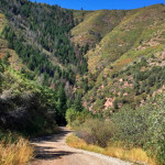
Connects: Cross Trail, Fall Line Trail, Grandstaff Trail, Olson Trail, Red Mountain Cross (7,450 ft) News about the Red Mountain Trail can be found at: Post Independent (November 12, 2017) – Red Mountain trail safety measures taken Red Mountain &…
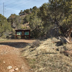
Connects: Arbaney Traverse, Triangle Peak Trail, Triangle Peak (9,223 ft), Red Canyon Trail, Arbaney Kittle Trail Aspen, CO – Hard – 5.9 Miles – Hike, Run, Mountain Bike, Dog Friendly – Dirt Red Rim Road (FSR #534) is a difficult…
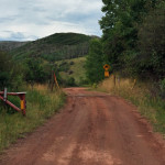
Connects: Cottonwood Pass Road (CR 10A), Milepost One Trail, Green Gate Trail, Taylor Creek Road (FSR #510), Red Table Trail, FAA Radar Tower, Mount Thomas Trail, Ruedi Trail Basalt, Carbondale, CO – Hard – Hike, Run, Mountain Bike, Horseback Ride,…
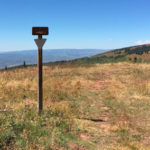
Connects: Taylor Creek Road (FSR #510), Basalt Mountain Trail, Cattle Creek Trail Basalt, CO – Hard – 5 Miles – Hike, Run, Mountain Bike, Horseback Ride, Dog Friendly – Dirt Red Table Trail #1909 is a difficult trail you can…
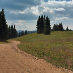
Connects: Aspen Mountain Sundeck, Nature Trail, East Rim Trail, Midnight Mine Road (FSR #118), Richmond Ridge, Grant’s Cabin, Little Annie Road (CR 15G), Hurricane Point (11,535 ft), Taylor Pass (11,930 ft), Express Creek Road (FSR #122), Barnard Hut View Larger…
Connects: Sam’s Knob Lift Snowmass Village, CO – Hard – Uphill, Snowshoe, Dog Friendly – Snow Sam’s Knob Uphill Route is a difficult route you can skin and snowshoe up that is dog friendly. This is an uphill route on…