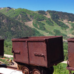
Connects: Smuggler Mountain Road (FSR #131) Aspen, CO – Historic Mine Smuggler Mine is an old silver mine and a historic site on Smuggler Mountain, opposite Aspen Mountain, in Aspen, CO. The world’s largest silver nugget, weighing 1840 pounds, was…
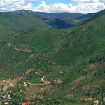
Connects: Arbaney Traverse, Smuggler Mountain Road (FSR #131), Smuggler Mine, Smuggler Mountain Overlook, Hunter Creek Cutoff Trail, Behind The Sign (BTS) Trail, Bushwacker Mine, Park Regent Mine, Robbie Wade Picnic Area, 10th Mountain Trail, Tootsie Roll Trail, Lollipop Trail, Iowa…
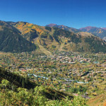
Connects: Arbaney Traverse, Smuggler Mountain, Smuggler Mountain Road (FSR #131), Hunter Creek Cutoff Trail, Behind The Sign (BTS) Trail Aspen, CO – Viewing Area The Smuggler Mountain Overlook (8,800 ft) is a viewing deck along Smuggler Mountain Road (FSR #131)…

Connects: Maroon Bells-Snowmass Wilderness Snowmass, CO – Mountain Peak Snowmass Peak (13,627 ft) is a peak in the Maroon Bells-Snowmass Wilderness of the White River National Forest near Snowmass, CO. More information about Snowmass Peak can be found at: Wikipedia…
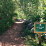
Connects: Independence Pass Road (HWY 82), East of Aspen Trail, Snyder Park, Aspen Grove Cemetery Aspen, CO – Easy – 0.2 Miles – Walk, Run, Mountain Bike, Dog Friendly – Dirt Snyder Park Trail is an easy trail you can…
Connects: Aspen to Crested Butte Aspen, Crested Butte, CO – Mountain Pass Star Pass (12,330 ft) is a mountain pass in the Elk Mountains between Aspen and Crested Butte, CO. View Larger Map
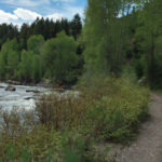
Connects: ABC Trail, Stein Bridge, Rio Grande Trail, Stein Falls, Double Bar X Ranch Nature Preserve (Private) Aspen, CO – Easy – 0.6 Miles – Hike, Run, Mountain Bike, Horseback Ride, Dog Friendly – Dirt Stein Trail is an easy…
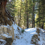
Connects: Little Annie Road (CR 15G), Dick Cabins, Dick Picnic Area, Quien Sabe Mine, Storm King Cabin Aspen, CO – Hard – Hike, Run, Dog Friendly – Dirt Stirling Wilderness Trail, also called Stirling Cooper Trail, is a difficult trail…
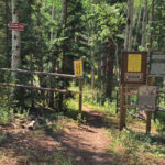
Connects: Buttermilk Summer Road, Buttermilk Trail, West Buttermilk Warming Hut, West Buttermilk Trail, Government Trail Aspen, CO – Hard – 1.7 Miles – Hike, Run, Mountain Bike, Dog Friendly – Dirt The Sugar Bowls Trail is a difficult trail you…
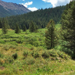
Connects: Lincoln Creek Road (FSR #106), Tabor Lake (12,310 ft) Aspen, CO – Medium – 3.9 Miles – Hike, Run, Horseback Ride, Dog Friendly – Dirt Tabor Creek Trail #2185, also called the Tabor Lake Trail, is an intermediate/moderate difficulty…