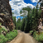
Connects: Hagerman Pass Road (FSR #105) Nast, CO – Viewing Area Hell Gate, also called Hell Gap, is a narrow section along Hagerman Pass Road (FSR #105) to Hell Gap where the valley drops far below and the road winds…

Connects: Hagerman Pass Road (FSR #105) Nast, CO – Viewing Area Hell Gate, also called Hell Gap, is a narrow section along Hagerman Pass Road (FSR #105) to Hell Gap where the valley drops far below and the road winds…
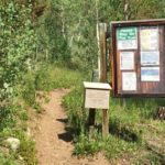
Connects: North Fork Road (FSR #501), Tellurium Lake Trail, Henderson Park (10,390 ft), Carter Lake (10,300 ft), Savage Lakes Trail, Savage Lakes Thomasville, CO – Medium – 5 Miles – Hike, Run, Horseback Ride, Dog Friendly – Dirt Henderson Park…
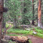
Connects: Tellurium Lake Trail, Coffeepot Park (10,550 ft), Josephine Lake (11,390 ft) Thomasville, CO – Medium – 2 Miles – Hike, Run, Horseback Ride, Dog Friendly – Dirt Josephine Lake Trail #1916 is an intermediate/moderate trail you can hike, run,…
Thomasville, CO – Hike – Dirt Little Dead Man Trail is a trail you can hike. This is a trail in Thomasville near Basalt, CO. News about Little Dead Man Trail can be found at: The Denver Channel (July 11,…
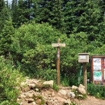
Connects: Hagerman Pass Road (FSR #105), Lyle Lake (11,375 ft), Mormon Lake (11,465 ft) Nast, CO – Medium – 3.3 Miles – Hike, Run, Horseback Ride, Dog Friendly – Dirt Lyle/Mormon Lake Trail #1919, also called Lyle Lake Trail or…
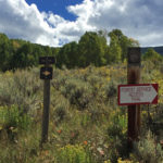
Connects: Ruedi Reservoir Meredith, CO – Medium – 4 Miles – Hike, Run, Mountain Bike, Dog Friendly – Dirt Miller Divide Trail #1930 is an intermediate/moderate trail you can hike, run, and mountain bike that is dog friendly. This is…
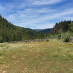
Connects: Frying Pan Road (CR 104) Meredith, CO – Medium – Hike, Run, Mountain Bike, Horseback Ride, Dog Friendly – Dirt Montgomery Flats Trail #1908 is an intermediate/moderate trail you can hike, run, mountain bike, and horseback ride that is…
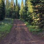
Connects: Eagle-Thomasville Road (FSR #400), Crooked Creek Pass (10,009 ft), Ruedi Trail, Red Table Road (FSR #514) Basalt, CO – Medium – 9 Miles – Hike, Run, Mountain Bike, Horseback Ride, Dog Friendly – Dirt Mount Thomas Trail #1870 is…
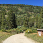
Connects: Frying Pan Road (CR 104), Twin Meadows, Aspen/Norrie Trail, Sawyer Lake Trail, Chapman Gulch Road (FSR #504E), Chapman Gulch Road (FSR #504E), South Fork Pass Trail Norrie, CO – Medium – 10.3 Miles – Hike, Run, Mountain Bike, Horseback…