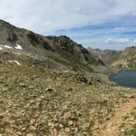
Connects: Lost Man Trail, Independence Lake (12,497 ft), Lost Man Lake (12,450 ft) Aspen, CO – Mountain Pass Lost Man Pass (12,805 ft) is a high mountain pass between Independence Lake (12,497 ft) and Lost Man Lake (12,450 ft) along…
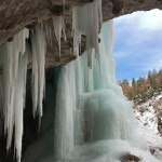
Connects: Koper’s Trail, Upper Ice Cave Rifle, CO – Ice Cave The Lower Ice Cave is an open area of rock where ice covers the front to create an ice cave. This is a winter site found along Koper’s Trail…
Connects: Sunshine Trail Glenwood Springs, CO – Easy – Snowshoe, Classic XC Ski, Skate Ski, Dog Friendly – Snow Lower Sunshine Trail is an easy winter trail you can snowshoe, classic cross-country ski and skate ski that is dog friendly.…
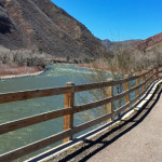
Connects: South Canyon, South Canyon Bridge, South Canyon Archery Range, South Canyon Creek Road (CR 134) Glenwood Springs, CO – Easy – 50 Miles – Paved The Lower Valley Trail, or LoVa Trail, is a proposed 50-mile path along the…
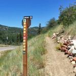
Connects: Sky Mountain Park, Highline Trail Snowmass Village, CO – Easy – 1 Mile – Hike, Run, Mountain Bike, Dog Friendly – Dirt Lowline Trail is an easy trail you can hike, run, and mountain bike that is dog friendly.…
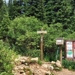
Connects: Hagerman Pass Road (FSR #105), Lyle Lake (11,375 ft), Mormon Lake (11,465 ft) Nast, CO – Medium – 3.3 Miles – Hike, Run, Horseback Ride, Dog Friendly – Dirt Lyle/Mormon Lake Trail #1919, also called Lyle Lake Trail or…
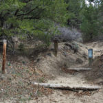
Connects: Buford-New Castle Road (FSR #245), Cherry Creek Trail, Forest Service Road #820, Forest Service Road #819, Spring Cow Camp Cabin, Deep Creek Canyon, Calhoun Basin New Castle, CO – Medium – 9.5 Miles – Hike, Run, Mountain Bike, Horseback…
Connects: Gunnison County Road 3, Crystal River, Marble Disc Golf Course, Marble Quarry Road (CR 3C) Marble, CO – Historic Site The Marble Mill Site Park is a 25 acre historic site that is now a park with large marble…