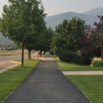
Connects: Highway 82, Southside Drive, Southside Park, Rio Grande Trail, Basalt High School Trail Basalt, CO – Easy – Less Than A Mile – Walk, Run, Dog Friendly – Paved The Southside Trail is an easy trail you can walk…
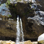
Connects: Hanging Lake Trail, Hanging Lake (7,175 ft) Glenwood Springs, CO – Waterfall Spouting Rock (7,323 ft) is a water fall gushing through rocks that flows into Hanging Lake. The site is located at the top of the Hanging Lake…
Connects: Spring Cave Trail Meeker, CO – Cave Spring Cave is a large cave in the South Fork Valley of the White River accessed by the Spring Cave Trail. The cave closed August 15 – April 15. This is a…
Connects: Rio Blanco County Road 10, South Fork Campground, Spring Cave Meeker, CO – Medium – 0.6 Miles – Hike, Run, Horseback Ride, Dog Friendly – Dirt Spring Cave Trail #1834 is an intermediate/moderate trail you can hike, run, and…
Connects: East Elk Creek Trail (Centennial Trail) New Castle, CO – Medium – 5.8 Miles – Hike, Run, Horseback Ride, Dog Friendly – Dirt Spring Creek Trail #2068 is an intermediate/moderate trail you can hike, run, and horseback ride that…
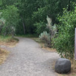
Connects: Rifle Falls State Park, Coyote Trail More information about the Rifle Falls State Park can be found at: Colorado Parks & Wildlife – Rifle Falls Trails Squirrel Trail Map Rifle Falls State Park View Larger Map

Connects: Colorow Trail New Castle, CO – Medium – 1 Mile – Hike, Run, Mountain Bike, Dog Friendly – Dirt The Stairway to Heaven Trail is an intermediate/moderate trail you can hike, run and mountain bike that is dog friendly.…
Connects: Aspen to Crested Butte Aspen, Crested Butte, CO – Mountain Pass Star Pass (12,330 ft) is a mountain pass in the Elk Mountains between Aspen and Crested Butte, CO. View Larger Map
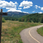
Connects: Owl Creek Trail, Powerline Trail, Tom Blake Trail Snowmass Village, CO – Easy – 1.24 Miles – Walk, Hike, Run, Mountain Bike, Dog Friendly – Paved/Dirt Stark’s Trail is an easy trail you can walk, hike, run, and bike…