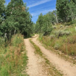
Connects: North Fork Road (FSR #501), Last Chance Trail, Tellurium Lake Trail, Harry Gates Hut, Woods Lake Road (FSR #507), Lime Park (9,400 ft), Eagle-Thomasville Road (FSR #400) Thomasville, CO – Easy – 10 Miles – Hike, Run, Mountain Bike,…

Connects: North Fork Road (FSR #501), Last Chance Trail, Tellurium Lake Trail, Harry Gates Hut, Woods Lake Road (FSR #507), Lime Park (9,400 ft), Eagle-Thomasville Road (FSR #400) Thomasville, CO – Easy – 10 Miles – Hike, Run, Mountain Bike,…
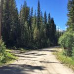
Connects: Norrie Road (FSR #504), Chapman Lake Trail, Chapman Gulch Trail Norrie, CO – Medium – 2.4 Miles – Hike, Run, Mountain Bike, Horseback Ride, Dog Friendly – Dirt Chapman Gulch Road (FSR #504E) is an intermediate/moderate road you can…
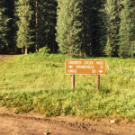
Connects: Eagle-Thomasville Road (FSR #400), Mount Thomas Trail Thomasville, CO – Mountain Pass Crooked Creek Pass (10,009 ft) is a mountain pass along Eagle-Thomasville Road (FSR #400) near Basalt, CO. Distances: Crooked Creek Pass to Thomasville – 12 Miles Crooked…
Connects: Burnt Mountain Road (FSR #506), Montgomery Flats Trail Thomasville, CO – Hut The Harry Gates Hut is a hut that is part of the 10th Mountain Division Hut System available for reservations through the 10th Mountain Division Hut Association.…
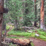
Connects: Tellurium Lake Trail, Coffeepot Park (10,550 ft), Josephine Lake (11,390 ft) Thomasville, CO – Medium – 2 Miles – Hike, Run, Horseback Ride, Dog Friendly – Dirt Josephine Lake Trail #1916 is an intermediate/moderate trail you can hike, run,…
Thomasville, CO – Hike – Dirt Little Dead Man Trail is a trail you can hike. This is a trail in Thomasville near Basalt, CO. News about Little Dead Man Trail can be found at: The Denver Channel (July 11,…
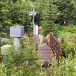
Connects: Fryingpan Lakes Road (FSR #505), Lily Pad Lake Trail, Fryingpan Lakes Trail Nast, CO – Medium – Hike, Run, Horseback Ride, Dog Friendly – Dirt Marten Creek Trail is an intermediate/moderate trail you can hike, run, and horseback ride…
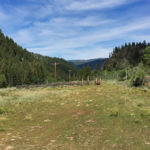
Connects: Frying Pan Road (CR 104) Meredith, CO – Medium – Hike, Run, Mountain Bike, Horseback Ride, Dog Friendly – Dirt Montgomery Flats Trail #1908 is an intermediate/moderate trail you can hike, run, mountain bike, and horseback ride that is…
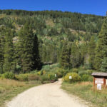
Connects: Frying Pan Road (CR 104), Twin Meadows, Aspen/Norrie Trail, Sawyer Lake Trail, Chapman Gulch Road (FSR #504E), Chapman Gulch Road (FSR #504E), South Fork Pass Trail Norrie, CO – Medium – 10.3 Miles – Hike, Run, Mountain Bike, Horseback…
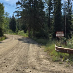
Connects: Frying Pan Road (CR 104), Burnt Mountain Road (FSR #506), Elk Wallow Campground, Henderson Park Trail, Savage Lakes Trail, Cunningham Road (FSR #538) Thomasville, CO – Easy – 7.8 Miles – Hike, Run, Mountain Bike, Horseback Ride, Dog Friendly…
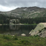
Connects: Savage Lakes Trail Thomasville, CO – Lake Savage Lakes (11,050 ft) are a couple alpine lakes in the Holy Cross Wilderness accessed by the Savage Lakes Trail. These are lakes near Thomasville, CO. More information about Savage Lakes Trail…
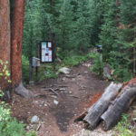
Connects: North Fork Road (FSR #501), Savage Lakes (11,050 ft), Henderson Park Trail Thomasville, CO – Medium – 2 Miles – Hike, Run, Horseback Ride, Dog Friendly – Dirt Savage Lakes Trail #1918 is an intermediate/moderate trail you can hike,…
Connects: Tellurium Lake Trail Thomasville, CO – Lake Tellurium Lake (10,570 ft) is an alpine lake in the Holy Cross Wilderness accessed by the Tellurium Lake Trail. This is a lake near Thomasville, CO. More information about Tellurium Lake Trail…