Connects: Rifle Falls State Park, Coyote Trail More information about the Rifle Falls State Park can be found at: Colorado Parks & Wildlife – Rifle Falls Trails Squirrel Trail Map Rifle Falls State Park View Larger Map

Connects: Rifle Falls State Park, Coyote Trail More information about the Rifle Falls State Park can be found at: Colorado Parks & Wildlife – Rifle Falls Trails Squirrel Trail Map Rifle Falls State Park View Larger Map

Connects: Colorow Trail New Castle, CO – Medium – 1 Mile – Hike, Run, Mountain Bike, Dog Friendly – Dirt The Stairway to Heaven Trail is an intermediate/moderate trail you can hike, run and mountain bike that is dog friendly.…
Connects: Aspen to Crested Butte Aspen, Crested Butte, CO – Mountain Pass Star Pass (12,330 ft) is a mountain pass in the Elk Mountains between Aspen and Crested Butte, CO. View Larger Map
Connects: Owl Creek Trail, Powerline Trail, Tom Blake Trail Snowmass Village, CO – Easy – 1.24 Miles – Walk, Hike, Run, Mountain Bike, Dog Friendly – Paved/Dirt Stark’s Trail is an easy trail you can walk, hike, run, and bike…
Connects: ABC Trail, Stein Bridge, Rio Grande Trail, Stein Falls, Double Bar X Ranch Nature Preserve (Private) Aspen, CO – Easy – 0.6 Miles – Hike, Run, Mountain Bike, Horseback Ride, Dog Friendly – Dirt Stein Trail is an easy…
Connects: Wulfsohn Mountain Park, Wulfsohn Trail, Vanderhoofin’ It Trail, Wulfsohn Road Glenwood Springs, CO – Medium – 1.2 Miles – Hike, Run, Mountain Bike, Dog Friendly – Dirt Stevie Bob Trail is an intermediate/moderate trail you can hike, run, and…
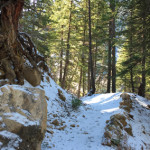
Connects: Little Annie Road (CR 15G), Dick Cabins, Dick Picnic Area, Quien Sabe Mine, Storm King Cabin Aspen, CO – Hard – Hike, Run, Dog Friendly – Dirt Stirling Wilderness Trail, also called Stirling Cooper Trail, is a difficult trail…
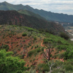
Glenwood Springs, CO – Medium – 2 Miles – Hike – Dirt The Storm King Fourteen Memorial Trail is an intermediate/moderate trail you can hike. The trail is in memory of the 14 firefighters who died there during the South…
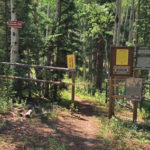
Connects: Buttermilk Summer Road, Buttermilk Trail, West Buttermilk Warming Hut, West Buttermilk Trail, Government Trail Aspen, CO – Hard – 1.7 Miles – Hike, Run, Mountain Bike, Dog Friendly – Dirt The Sugar Bowls Trail is a difficult trail you…
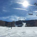
Glenwood Springs, CO – Hard – 1.5 Miles – Uphill, Snowshoe – Snow Sun King Uphill Route is a difficult route you can skin and snowshoe up. This is a 1.5 mile uphill route on Sunlight Mountain in Glenwood Springs,…