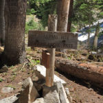
Connects: Lead King Loop, Lead King Basin Road (FSR #315), Silver Creek Trail, North Lost Trail, Carbonate Creek Trail Marble, CO – Hard – 5.2 Miles – Hike, Run, Horseback Ride, Dog Friendly – Dirt Arkansas Mountain Trail #1965 is…

Connects: Lead King Loop, Lead King Basin Road (FSR #315), Silver Creek Trail, North Lost Trail, Carbonate Creek Trail Marble, CO – Hard – 5.2 Miles – Hike, Run, Horseback Ride, Dog Friendly – Dirt Arkansas Mountain Trail #1965 is…
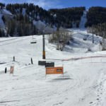
Connects: Exhibition Lift Aspen, CO – Hard – Uphill, Snowshoe – Snow Aspen Highlands Uphill Route is a difficult route you can skin and snowshoe up. This is an uphill trail on Aspen Highlands Mountain in Aspen, CO. This route…
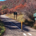
Connects: Brush Creek Trail, Roaring Fork River, Jaffee Park, Rio Grande Trail Aspen, CO – Easy – 0.7 Miles – Walk, Run, Road Bike, Dog Friendly – Paved The Aspen Mass Trail is an easy trail you can walk, run,…
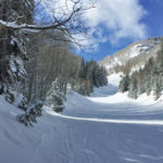
Connects: Silver Queen Gondola Aspen, CO – Hard – Uphill, Snowshoe – Snow Aspen Mountain Uphill Route is a difficult route you can skin and snowshoe up. Uphillers must turn around at 9 a.m., if they are not at the…
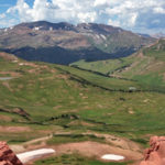
Connects: Maroon Creek Road (CR 13), Maroon Creek Trail, Maroon Lake (9,585 ft), Maroon Bells Scenic Trail, Four Pass Loop, Crater Lake Trail, Crater Lake (10,076 ft), West Maroon Trail, West Maroon Pass (12,465 ft), East Maroon Trail, East Maroon…
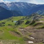
Connects: Marble to Crested Butte, Four Pass Loop, Maroon Lake (9,585 ft), Buckskin Pass (12,462 ft), Snowmass Lake (10,980 ft), Trail Rider Pass (12,415 ft), Geneva Lake (10,940 ft), Lead King Loop, Beaver Lake (7,945 ft) Aspen, Marble, CO –…
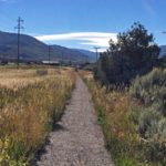
Connects: Upper River Road (CR 17), Red Canyon Trail Aspen, CO – Medium – 1.75 Miles – Hike, Run, Mountain Bike, Horseback Ride, Dog Friendly – Dirt Aspen Valley Ranch Trail is an intermediate/moderate trail you can hike, run, mountain…
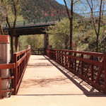
Connects: Three Mile Park Glenwood Springs, CO – Easy – 1.4 Miles – Walk, Run, Road Bike, Dog Friendly – Paved Atkinson Canal Trail is an easy trail you can walk, run, and bike that is dog friendly. This is…
Connects: Highway 133 (West Elk Loop Scenic Byway), Janeway Trail, Janeway Campground, Bulldog Creek Trail, Avalanche Campground, Avalanche Creek Trail View Larger Map