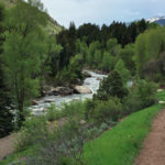
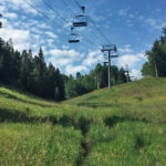
Connects: Spring Gulch Trail System Carbondale, CO – Medium – 2.24 KM (1.39 Miles) – Classic XC Ski, Skate Ski – Snow Bulldogger Trail is an intermediate/moderate winter trail for cross-country skiing only. This is a 2.24 KM (1.39 Miles)…
Burlingame Connector Trail (ABC)
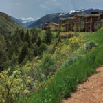
Connects: Airport Business Center (ABC), Stein Trail, Burlingame Connector Trail (Rio Grande) Aspen, CO – Easy – 0.2 Miles – Hike, Run, Mountain Bike, Dog Friendly – Dirt The Burlingame Connector Trail, an easy trail you can hike, run, and…
Burlingame Connector Trail (Rio Grande)
Burlingame Trail
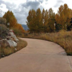
Connects: ABC Trail, Owl Creek Trail, Old Stage Trail, Harmony Park, Burlingame Connector Trail (Rio Grande), Burlingame Connector Trail (ABC) Aspen, CO – Easy – 0.5 Miles – Walk, Run, Road Bike – Paved Burlingame Trail is an easy trail…
Burning Mountain Trail
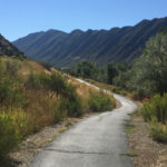
Connects: Flat Tops Bridge, Prendergast Hill Trail, Jolley Trail New Castle, CO – Easy – 0.6 Miles – Walk, Run, Road Bike, Dog Friendly – Dirt The Burning Mountain Trail is an easy trail you can walk, run, and bike…
Burnt Mountain Road (FSR #506)
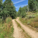
Connects: North Fork Road (FSR #501), Last Chance Trail, Tellurium Lake Trail, Harry Gates Hut, Woods Lake Road (FSR #507), Lime Park (9,400 ft), Eagle-Thomasville Road (FSR #400) Thomasville, CO – Easy – 10 Miles – Hike, Run, Mountain Bike,…
Burnt Tree Ridge Trail
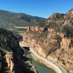
Connects: Glenwood Canyon, Glenwood Canyon Trail Glenwood Springs, CO – Medium – Mileage Varies – Hike, Run, Mountain Bike, Horseback Ride, Dog Friendly – Dirt Burnt Tree Ridge Trail is an intermediate/moderate trail you can hike, run, mountain bike, and…
Buttermilk Summer Road
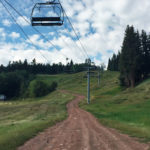
Connects: Buttermilk Trail, Oregon Trail, Tiehack Trail, Tiehack Summer Road, West Buttermilk Trail Aspen, CO – Medium – 3.4 Miles – Hike, Run, Mountain Bike, Dog Friendly – Dirt Buttermilk Summer Road is an intermediate/moderate road you can hike, run,…
Buttermilk Trail
Buttermilk Uphill Route
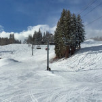
Connects: Summit Express Lift Aspen, CO – Medium – 2.5 Miles – Uphill, Snowshoe – Snow Buttermilk Uphill Route is an intermediate/moderate route you can skin and snowshoe up. This is an uphill trail on Buttermilk Mountain in Aspen, CO.…
Buttermillk Connector Trail
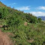
Connects: Buttermilk Summer Road, Buttermilk Trail, Owl Creek Road (CR 12), Owl Creek Trail, Airline Trail, Sky Mountain Park Aspen, Snowmass Village, CO – Medium – 1 Mile – Hike, Run, Mountain Bike, Dog Friendly – Dirt The Buttermilk Connector…
C-Avenue Trail
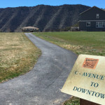
Connects: Hot Shot Park, Mt. Medaris Trail New Castle, CO – Easy – 0.45 Miles – Walk, Run, Road Bike, Dog Friendly – Paved C-Avenue Trail is an easy trail you can walk, run, and bike that is dog friendly.…
Capitol Creek Road (CR 9/FSR #316)
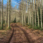
Connects: Snowmass Creek Road (CR 11), East Sopris Creek Road (CR 7), Monastery Road (CR 9B), St. Benedict’s Monastery, Nickelson Creek Road (CR 9D), Hay Park Trail, Capitol Creek Trail, Upper Capitol Creek Trail, Hell Roaring Trail
Capitol Creek Trail
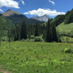
Connects: Capitol Creek Road (CR 9), Nickelson Creek Trail, Upper Capitol Creek Trail, Avalanche Creek Trail, West Snowmass Trail, Capitol Lake (11,600 ft) View Larger Map
Carbonate Creek Trail
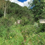
Connects: North Lost Trail, Avalanche Pass Trail, Arkansas Mountain Trail Marble, CO – Hard – 7 Miles – Hike, Run, Horseback Ride, Dog Friendly – Dirt Carbonate Creek Trail #1971 is a difficult trail you can hike, run, and horseback…

