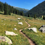
Connects: Lost Man Loop, Independence Pass Road (HWY 82), Lost Man Campground, Midway Creek Trail, Lost Man Reservoir (10,580 ft) , South Fork Pass Trail, Lost Man Lake (12,450 ft), Lost Man Pass (12,805 ft), Independence Lake (12,497 ft), Linkins…
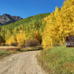
Connects: Aspen to Crested Butte, Castle Creek Road (CR 15), Cooper Creek Road (Iron Mine Road), Mace Cabin, Pearl Pass Bridge, Pearl Pass Road (FSR #102), Montezuma Basin, Castle/Conundrum Peak Trail View Larger Map
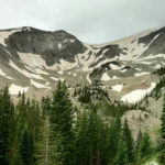
Connects: Dinkle Lake Road (FSR #311), Thomas Lakes Trail, Hay Park Trail, Thomas Lakes (10,200 ft), East Sopris Peak (12,965 ft), West Sopris Peak (12,965 ft) Basalt, Carbondale, CO – Hard – 7 Miles – Hike, Run, Dog Friendly –…
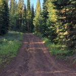
Connects: Eagle-Thomasville Road (FSR #400), Crooked Creek Pass (10,009 ft), Ruedi Trail, Red Table Road (FSR #514) Basalt, CO – Medium – 9 Miles – Hike, Run, Mountain Bike, Horseback Ride, Dog Friendly – Dirt Mount Thomas Trail #1870 is…
Connects: Anthracite Pass Trail Marble, CO – Hard – 6.4 Miles – Hike, Run, Horseback Ride, Dog Friendly – Rocky/Dirt North Anthracite Trail #832 is a difficult trail you can hike, run, and horseback ride that is dog friendly. This…
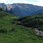
Connects: Four Pass Loop, Geneva Lake Trail, Fravert Basin Trail (North Fork Trail) Marble, CO – Hard – 1.1 Miles – Hike, Run, Horseback Ride, Dog Friendly – Rocky/Dirt North Fork Cutoff Trail is a difficult trail you can hike,…
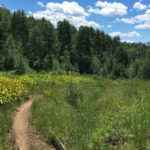
Connects: Upper Cattle Creek Road (FSR #509), Lone Pine Trail, Short Line Trail, Milepost One Trail, Bowers Gulch Trail Basalt, CO – Medium – Hike, Run, Mountain Bike, Horseback Ride, Dog Friendly – Dirt North Fork Trail #1914 (Cattle Creek)…
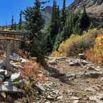
Connects: Aspen to Crested Butte, Montezuma Basin Road (FSR #102), Tagert Hut, Green-Wilson Hut, Pearl Pass Ashcroft, CO – Hard – Hike, Run, Mountain Bike, Horseback Ride, Dog Friendly – Rocky/Dirt Pearl Pass Road (FSR #102) is a difficult road…
Connects: Lead King Loop, Lead King Basin Road (FSR #315), Crystal City Road (FSR #314), Crystal Bridge No. 4, Devil’s Punchbowl (Schofield Pass), Schofield Park, West Maroon Trail, Schofield Pass (10,700 ft) Marble, CO – Hard – 8 Miles –…
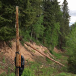
Connects: Aspen Mountain Summer Road (Aspen Mountain Trail), Little Cloud Trail Aspen, CO – Hard – 0.8 Miles – Hike – Rocky Shadow Mountain Trail is a difficult trail you can hike. This route is rough and dangerous. Use extreme…
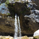
Connects: Hanging Lake Trail, Hanging Lake (7,175 ft) Glenwood Springs, CO – Waterfall Spouting Rock (7,323 ft) is a water fall gushing through rocks that flows into Hanging Lake. The site is located at the top of the Hanging Lake…
Connects: Babbish Trail, Babbish Express Trail, Compass Peak (9,895 ft), Compass Trail, Dippsy Doodle Trail, Garl’s Landing, Glades Trail, Grizzly Summer Road, High Places Chapel, Holiday Hill Trail, Leonard’s Lookout, Little Beaver Trail, Old Four Mile Road, Sun King Uphill…