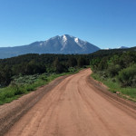
Connects: Thompson Creek Road (CR 108), Crystal River Ranch, Four Mile Road (CR 117) View Larger Map View Larger Map

Connects: Thompson Creek Road (CR 108), Crystal River Ranch, Four Mile Road (CR 117) View Larger Map View Larger Map
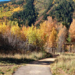
Connects: Independence Pass Road (HWY 82), Snyder Park Trail, Aspen Grove Cemetery, North Star Nature Preserve, North Star Loop (Winter), North Star Beach, Difficult Campground, Difficult Creek Trail View Larger Map
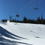
Connects: Elk Camp Gondola, Elk Camp Lift, Elk Camp Overlook (11,340 ft) Snowmass Village, CO – Hard – 3.4 Miles – Uphill, Snowshoe, Dog Friendly – Snow Elk Camp Uphill Route is a difficult route you can skin and snowshoe…
Connects: Aspen Mountain, Marilyn Monroe Shrine, Ridge of Bell Ski Run Aspen, CO – Shrine The Elvis Presley Shrine is dedicated to the American singer and actor. The shrine is located off the Ridge of Bell Ski Run on Aspen…
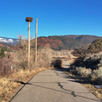
Connects: Emma Overlook, Rio Grande Trail, Emma Store Buildings, Downtown Basalt-Willits Trail, Emma Schoolhouse, Emma Bridge News about the Emma Trail can be found at: The Aspen Times (August 2, 2017) – Newcomers take wing in Emma, Colorado The Aspen…
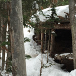
Connects: Snowmass Ski Area, Showcase Ski Run, Reader’s Ski Run Snowmass, CO – Shrine The Eric Smith Shrine is a wooden hut structure dedicated to the Snowmass snowboard instructor who died on February 24, 2003 from a rare form of…
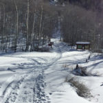
Connects: Castle Creek Road (CR 15), Ashcroft Ghost Town, Ashcroft Ski Touring Trails (Winter), Markley Hut, Taylor Pass (11,930 ft), Richmond Hill Road (FSR #123), Goodwin-Greene Hut
Connects: Spring Gulch Trail System, North Star Trail (XC Only) Carbondale, CO – Medium – 0.78 KM (0.48 Miles) – Classic XC Ski, Skate Ski – Snow Ginny Lane Trail is an intermediate/moderate winter trail for cross-country skiing only. This…
Connects: Babbish Trail, Little Beaver Trail Glenwood Springs, CO – Medium – Snowshoe, Classic XC Ski, Skate Ski, Dog Friendly – Snow Glades Trail is an intermediate/moderate winter trail you can snowshoe, classic cross-country ski and skate ski that is…
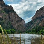
Connects: Glenwood Springs (5,760 ft), Colorado River, Glenwood Canyon Trail, Horseshoe Bend Park, Artist Point (6,540 ft), No Name Rest Area, No Name Trail (Jess Weaver Trail), No Name Canyon, Grizzly Creek Rest Area, Grizzly Creek Trail, Grizzly Creek Canyon,…
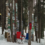
Connects: Snowmass Ski Area, Bear Bottom Ski Run, Gunner’s View Ski Run Snowmass Village, CO – Shrine The Golf Shrine is dedicated to the game of golf. The shrine is located off the ski run Bear Bottom on Snowmass. More…
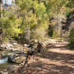
The Grizzly Creek Trail #2065 is an intermediate/moderate trail you can hike and run that is dog friendly. This is a 3.4 mile dirt trail in Glenwood Springs, CO.
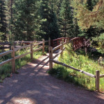
Connects: Independence Pass Road (HWY 82), Cascades, Ice Caves, Lincoln Gulch Campground View Larger Map