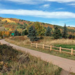
Connects: Cemetery Lane Trail, Bugsy Barnard Park, Across The Pond Park, Aspen Fat Bike Loop (Winter), Chatfield Trail, Old Stage Trail, Burlingame Trail, Annie B. Mitchell Trail, Owl Creek Trail View Larger Map View Larger Map

Connects: Cemetery Lane Trail, Bugsy Barnard Park, Across The Pond Park, Aspen Fat Bike Loop (Winter), Chatfield Trail, Old Stage Trail, Burlingame Trail, Annie B. Mitchell Trail, Owl Creek Trail View Larger Map View Larger Map
Connects: Alpine Springs Lift Snowmass Village, CO – Hard – Uphill, Snowshoe, Dog Friendly – Snow Alpine Springs Uphill Route is a difficult route you can skin and snowshoe up that is dog friendly. This is an uphill route on…
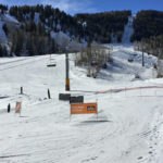
Connects: Exhibition Lift Aspen, CO – Hard – Uphill, Snowshoe – Snow Aspen Highlands Uphill Route is a difficult route you can skin and snowshoe up. This is an uphill trail on Aspen Highlands Mountain in Aspen, CO. This route…
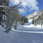
Connects: Silver Queen Gondola Aspen, CO – Hard – Uphill, Snowshoe – Snow Aspen Mountain Uphill Route is a difficult route you can skin and snowshoe up. Uphillers must turn around at 9 a.m., if they are not at the…
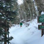
Connects: Ute Trail, North Star Loop (Winter) Aspen, CO – Medium – 1.77 KM (1.1 Miles) – Classic XC Ski – Snow Benedict Trail is an intermediate/moderate winter use trail for cross-country skiing only. This is a nordic trail that…
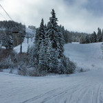
Connects: Big Burn Lift Snowmass Village, CO – Hard – 3.4 Miles – Uphill, Snowshoe, Dog Friendly – Snow Big Burn Uphill Route is a difficult route you can skin and snowshoe up that is dog friendly. This is an…
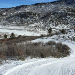
Connects: Spring Gulch, Wagon Road Trail (XC Only), Sidewinder Trail (XC Only), Highball Trail (XC Only) Carbondale, CO – Hard – 0.75 KM (0.46 Miles) – Classic XC Ski, Skate Ski – Snow Big Dipper Trail is a difficult winter…