Connects: Highway 133 (West Elk Loop Scenic Byway), Redstone Coke Ovens, Coal Basin Monument, Braderich Creek Trail, Coal Basin Trail
![]()
![]()
![]()
![]()

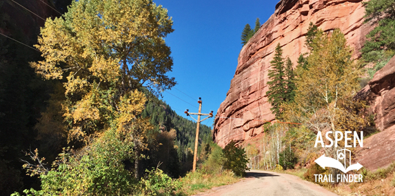
Coal Creek Road (FSR #307) through Coal Basin near Redstone
Redstone, CO – Easy – 4 Miles (To Info Kiosk) – Run, Road Bike, Mountain Bike – Dirt
Coal Creek Road (FSR #307), or Coal Basin Road, is an easy road you can run, road and mountain bike. This is a dirt road in Redstone, CO.
Distances:
Highway 133 (West Elk Loop Scenic Byway) to Braderich Creek Trail – 2.4 Miles
Highway 133 (West Elk Loop Scenic Byway) to Coal Basin Trail – 4 Miles

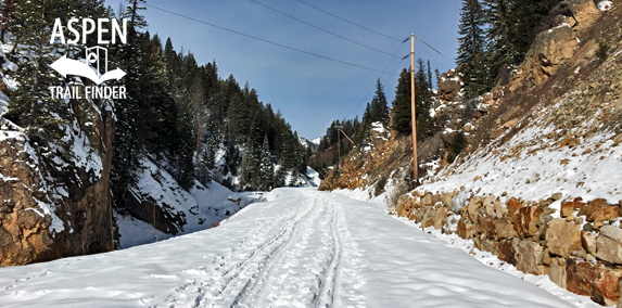
Coal Creek Road past the winter closure
Redstone, CO – Easy – 2.7 Miles (To Info Kiosk) – Snowshoe, Classic XC Ski, Fat Bike, Dog Friendly – Snow
Coal Creek Winter Road, or Coal Basin Road, is an easy road you can snowshoe, classic cross-country ski, and fat bike that is dog friendly. This is an unplowed winter road in Redstone, CO. This is not a groomed nordic trail.
Distances:
End of Winter Maintenance to Coal Basin Trail – 2.65 Miles


