Connects: Frying Pan Road (CR 104), Spring Creek Ridge (FSR #519), Lime Park (9,300 ft), Burnt Mountain Road (FSR #506), Crooked Creek Reservoir (9,415 ft), Crooked Creek Pass (10,000 ft), Mount Thomas Trail, Sylvan Lake State Recreation Area

Eagle-Thomasville Road (FSR #400) near Ruedi Reservoir
Thomasville, CO – Easy – 44 Miles – Hike, Run, Mountain Bike, Horseback Ride, Dog Friendly – Dirt
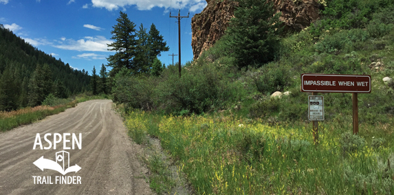
Eagle-Thomasville Road (FSR #400), also called Brush Creek Road, is an easy road you can hike, run, mountain bike, and horseback ride that is dog friendly. This road winds up from Thomasville, near Ruedi Reservoir, to Eagle, CO. This road is closed in winter.
Distances:
Frying Pan Road (CR 104) Intersection to Winter Closure – 2.6 Miles
Frying Pan Road (CR 104) Intersection to Forest Service Road #519 – 4 Miles
Frying Pan Road (CR 104) Intersection to Burnt Mountain Road (FSR #506) – 8.1 Miles
More information about Eagle-Thomasville Road (FSR #400) can be found at:
White River National Forest – Eagle-Thomasville Road #400 (4WD)
White River National Forest – Eagle-Thomasville Road #400


