Connects: Lost Man Loop, Independence Pass Road (HWY 82), Lost Man Campground, Midway Creek Trail, Lost Man Reservoir (10,580 ft) , South Fork Pass Trail, Lost Man Lake (12,450 ft), Lost Man Pass (12,805 ft), Independence Lake (12,497 ft), Linkins Lake Trail

Lost Man Trail in the Hunter-Fryingpan Wilderness
Aspen, CO – Hard – 8.8 Miles – Hike, Run, Horseback Ride, Dog Friendly – Rocky/Dirt
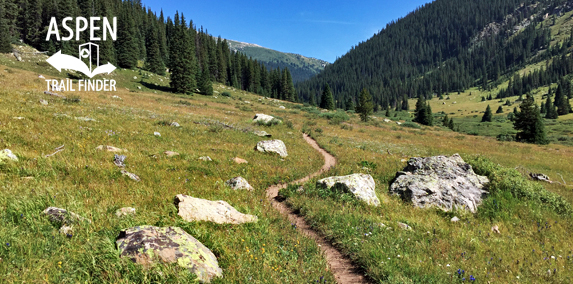
Lost Man Trail #1996, also called Lost Man Loop (though the trail itself is not a complete loop), is a difficult trail you can hike, run, and horseback ride that is dog friendly. This is an 8.8 mile trail in the Hunter-Fryingpan Wilderness close to Independence Pass near Aspen, CO.
Sections of the trail are referred to as Lower Lost Man Trail and Upper Lost Man Trail, as the two trailheads are located lower and higher along Highway 82. The lower Lost Man Trail parking area, located past mile marker 55, is also the trailhead for Midway Creek Trail. The upper Lost Man Trail parking area, located past mile marker 59, is also the trailhead for Linkins Lake Trail, also called the Independence Lake Trailhead. If you are traveling the entire Lost Man Loop Trail there is a 4 mile gap along Independence Pass Road (HWY 82) to get back to your original trailhead parking area.
More information about Lost Man Lake can be found at:
White River National Forest – Lost Man Trail #1996 (Hiking)
Lower Lost Man Trailhead
View Larger Map
Upper Lost Man Trailhead
View Larger Map


Did Lost Man loop on 7/5. Perfect day! I highly recommend counter clockwise. Another idea: leave a bike at LMtrail head, get a ride to Ind Lake trailhead, and beat the road walk!
Is this open in November?
This trail doesn’t “close.” It does get snowy and more difficult depending on winter. The Lost Man Loop is around 10,000-11,500 ft and currently the White River National Forest says there’s about 4-5 inches of snow an that altitude. It would certainly be really difficult right now. Hope that helps.